Intelligently designed, location and portfolio level intelligence. For 25 years, Risk Frontiers has been leading the development of natural catastrophe models for the Asia Pacific region. Learn more about our tools to quantify insurance and portfolio risk.
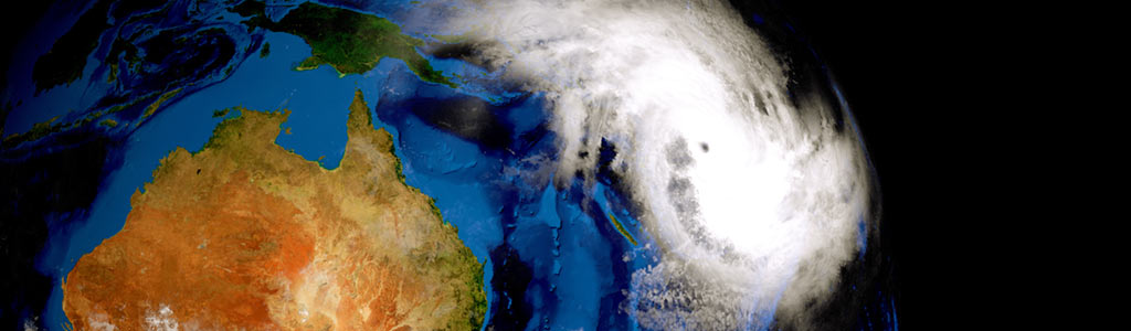
CyclAUS
CyclAUS models tropical cyclone wind loss across Australia’s cyclone-affected regions, incorporating 50,000 years of simulated cyclone events and detailed hazard resolutions down to 90 meters. … Continue reading
FireAUS
FireAUS models bushfire and grassfire risks across Australia, using satellite data and machine learning to simulate fire propagation and predict potential damage at a granular level. … Continue reading
FloodAUS
This model provides high-resolution riverine flood simulations across Australia, with address-level precision for over 500,000 events, aiding flood risk assessments and insurance planning. … Continue reading
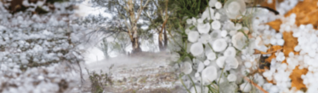
HailAUS – Detailed Loss Model
This model assesses hailstorm risks at both residential and commercial levels, using historical data and radar analysis to estimate hail damage on properties and vehicles across Australia. … Continue reading
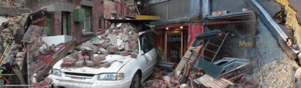
QuakeAUS - Earthquake Loss Model
QuakeAUS is built on extensive expertise in Australian seismic hazards, offering localized earthquake risk assessments with integration into Australia’s national seismic hazard models. … Continue reading
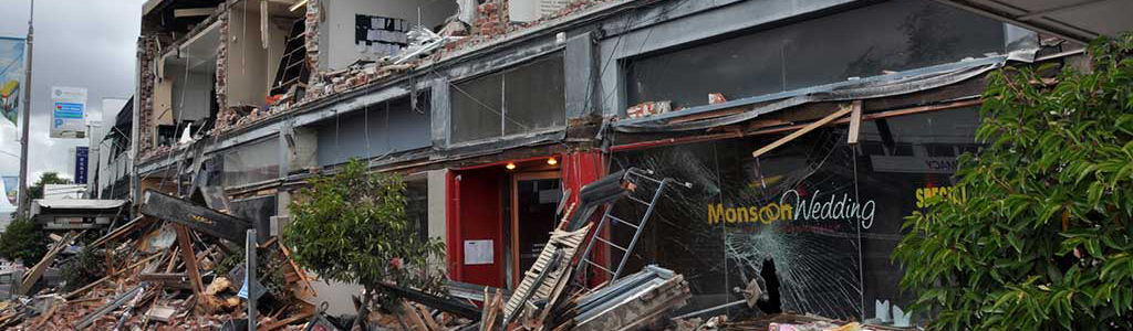
QuakeNZ
QuakeNZ covers earthquake and liquefaction risks throughout New Zealand, providing high-resolution modelling down to 500 meters for populated areas and 16 meters for liquefaction hazards.… Continue reading