Menu Close

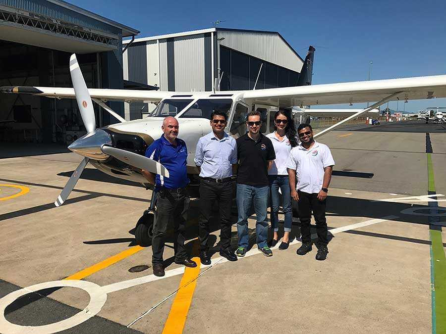
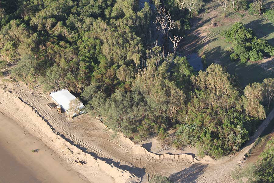
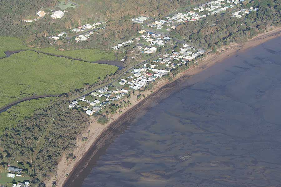
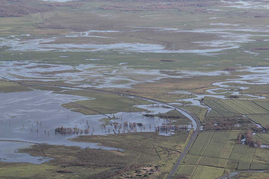
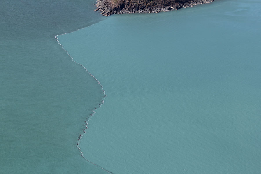
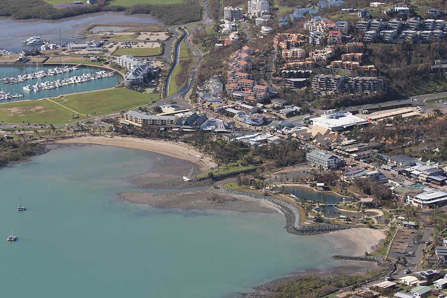
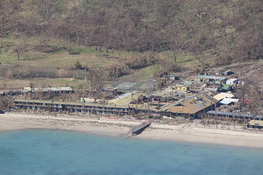
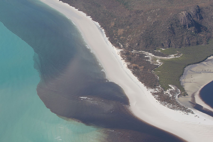
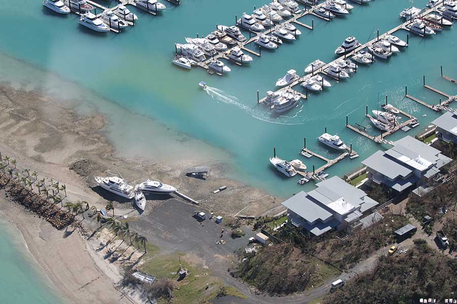
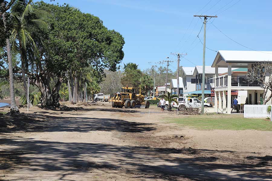
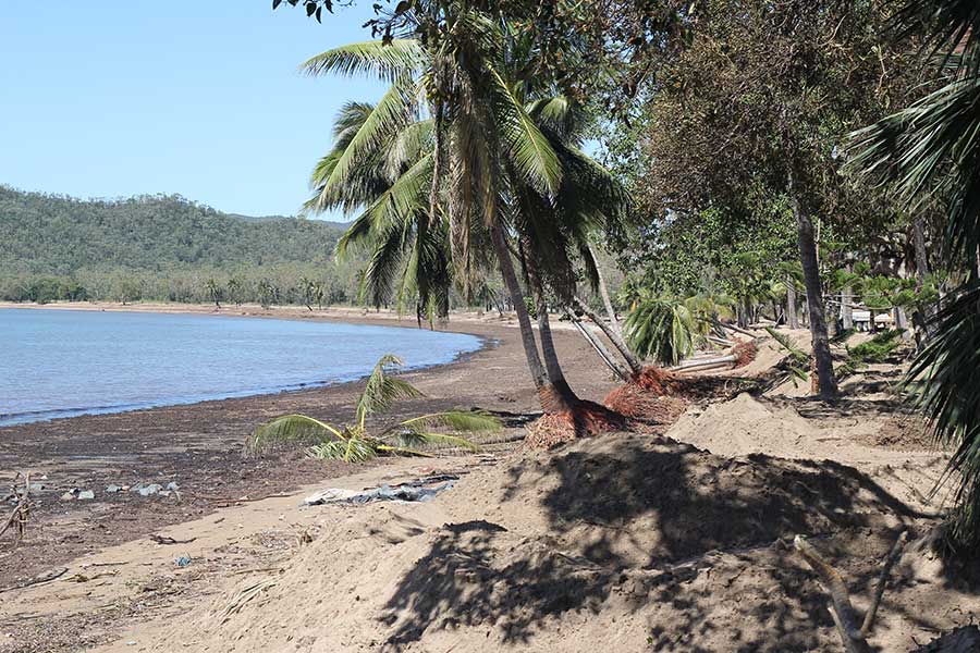
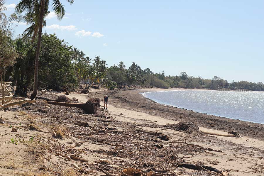
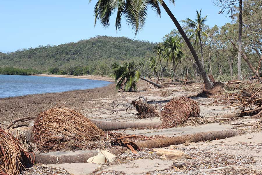
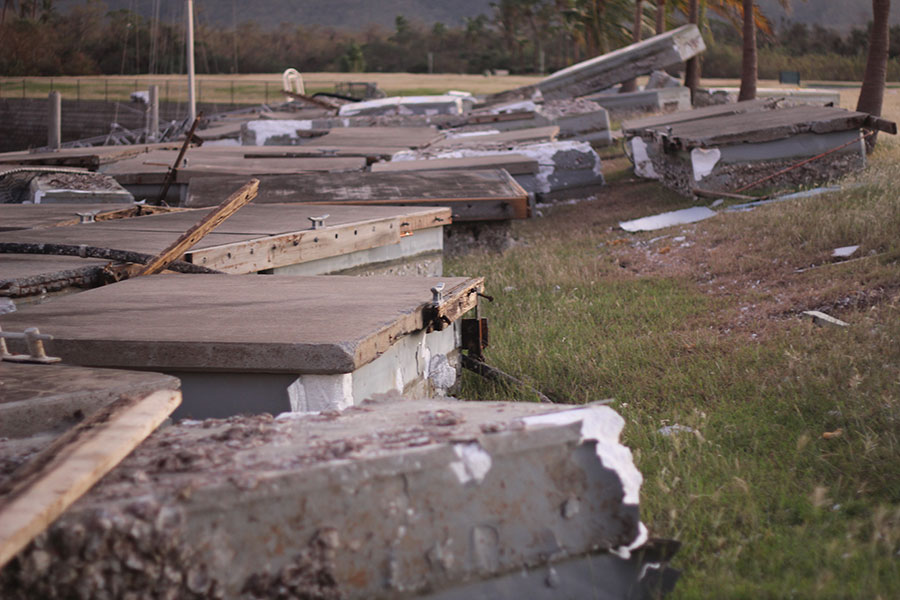
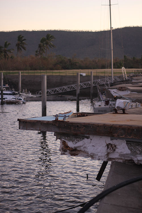
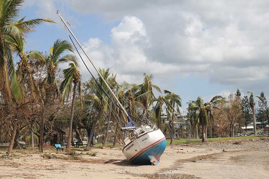
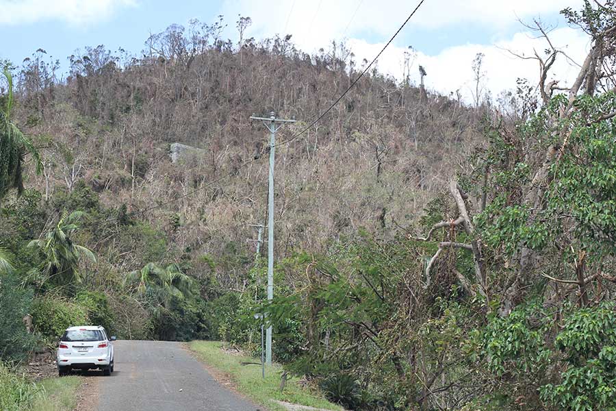
Severe Tropical Cyclone Debbie made landfall near Airlie Beach on the north Queensland coast at midday on 28th March 2017. A team from Risk Frontiers travelled to the landfall site and surrounds a day later to assess the damage. Their findings on coastal and flood impacts, and lessons learnt in terms of warnings and communications, are to be presented at the Tropical Cyclone Debbie forum hosted by the Bureau of Meteorology in Brisbane on 6 June. Below are a selection of images taken by the team during their visit.

1. The team prior to the aerial damage survey.
2. Evidence of storm surge and overwash
3. Seaforth post-Debbie
4. Flooding around the Bruce Highway outside Proserpine
5. Water quality impacts with floodwater discharge at Hamilton island
6. Airlie Beach post-Debbie
7. South Mole Island post-Debbie
8. Water quality impacts with floodwater discharge at Whitehaven Beach
9. Boat damage
10. The clean-up operation at Seaforth
11. The beach at Seaforth post-Debbie
12. The beach at Seaforth post-Debbie (2)
13. The beach at Seaforth post-Debbie (3)
14. Displaced pontoons at Laguna Quay Marina
15. Displaced pontoons at Laguna Quay Marina (2)
16. Yacht washed up at Airlie Beach
17. Example of the impact of local topography on wind damage

Want to Learn More About Our
Natural Catastrophe Modelling?

Risk Frontiers specialises in the risk management of natural disasters including catastrophe loss modelling and resilience.

  • Flooding
  • Bushfires
  • Earthquakes
  • Cyclones
  • Hailstorms