Home ❯ Insights ❯ Parameters of the Carr Fire Tornado, California, 26 July 2018

On this page

Download PDF

Download a PDF copy of this article 
for easy reading, sharing, or printing.

Share on:
1 Minute Read
Risk Frontiers

Parameters of the Carr Fire Tornado, California, 26 July 2018

Parameters of the Carr Fire Tornado, California, 26 July 2018

The following information is taken from a report by Kevin Fagan in the San Francisco Chronicle, 17 August 2018.


The California Department of Forestry and Fire Protection says in a report that Redding firefighter Jeremy Stoke died July 26, 2018, after he was enveloped in seconds by a fire tornado with a 300 metre diameter base and winds up to 265 km per hour. The fire tornado at one point reached a temperature of 1,480 centigrade.

The report states that Stoke was well familiar with the dangers of out-of-control wildfires, but that this tornado was unlike anything experienced before in California — quick, hot, huge and unpredictable.  At 7:39 p.m. Stoke was driving his truck down Buenaventura Road in northwest Redding, working on evacuating residents. One minute later he radioed out a “mayday” call saying he was getting burned over, and then his transmissions abruptly stopped, according to Cal Fire’s Green Sheet, the agency’s report on serious injuries and accidents.

Unlike tornados, which typically form during thunderstorms, fire tornados start at ground level. The Carr fire vortex lasted 80 minutes and grew to a height of 12 km.

https://www.sfchronicle.com/california-wildfires/article/Massive-Carr-Fire-tornado-trapped-killed-Redding-13159898.php

Similar reports and studies have been done by Risk Frontiers around natural catastrophe modelling and specifically delves into wildfire risks in Australia.
About the author/s

No Speakers found.

Further reading

Figure 2 main picture .2
14 Minute Read

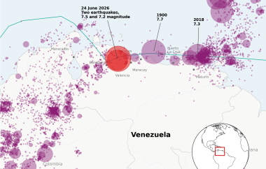
The 24 June 2026 Venezuela Earthquake Doublet

On 24 June 2026, northern Venezuela experienced a rare and damaging earthquake doublet near...
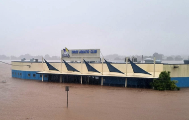
The Taree Aquatic Club during the Mid North Coast and Hunter floods looking toward the severely impacted suburb of Glenthorne on the far bank (Image shared with Risk Frontier's survey team by member of Aquatic Club cleanup staff).
6 Minute Read

Australia’s Most Costly Perils of 2025

Rising extinction risk is increasingly driven by human-made threats, especially emerging technologies like AI....
Confluence of Risks Nuclear War and Global Existential Threats - Risk Frontiers
7 Minute Read

Confluence of Concerns about the Risk of Nuclear War

Rising extinction risk is increasingly driven by human-made threats, especially emerging technologies like AI....

Interested in learning more about our detailed Australian bushfire & grassfire loss model?

The latest release of FireAUS, modelling bushfire and grassfire risk across Australia, represents another leap forward in the quantification of risk at the location and portfolio level. Risk Frontiers are the local, Australian-based experts and have used our recognised artificial intelligence, machine learning and climate modelling capabilities, decades of peer reviewed research and on the ground post-event surveys to continue to evolve our leading edge fire loss model.

Soon to be released FireAUS 4.0 will continue from FireAUS 3.2’s Australia wide coverage at the individual address level and can report losses at address level, SA1, postcode, and Cresta zones.

Our team is ready to answer your questions.

 In the spirit of reconciliation, Risk Frontiers acknowledges the Traditional Custodians of the land throughout Australia and their deep connections to land, sea, and community. We pay our respects to their Elders, past and present, and extend that respect to all Aboriginal and Torres Strait Islander peoples today.